
Top Hiking Trails in the Uinta Mountains, Utah
The Uinta Mountains are unlike any other range in Utah—or the U.S. They're the only major mountain range in the lower 48 that runs east to west, not north to south. With elevations topping 13,000 feet, hundreds of alpine lakes, and over 545 miles of trails, the Uintas are a top destination for hikers seeking cooler temps, fewer crowds, and incredible views.
Whether you're looking for a family-friendly hike, a weekend backpacking trip, or a serious summit, there's something in the Uintas for every level.

Best Hiking Trails in the Uinta Mountains
1. Bald Mountain Trail
Distance: 3 miles round trip
Difficulty: Moderate
Elevation Gain: ~1,200 feet
One of the most popular summit hikes in the Uintas, Bald Mountain offers panoramic views with a relatively short climb. You'll be above treeline almost the entire way, so bring sun protection and prepare for wind.
2. Naturalist Basin via Highline Trail
Distance: ~12 miles round trip
Difficulty: Moderate to Hard
Elevation Gain: ~1,600 feet
This scenic trail starts at the Mirror Lake Highway and passes through meadows, streams, and forests before reaching Naturalist Basin, a stunning area dotted with lakes and alpine views. Great for day hikes or overnight backpacking.
3. Amethyst Basin Trail
Distance: ~10.5 miles round trip
Difficulty: Moderate
Elevation Gain: ~2,100 feet
This trail follows Stillwater Fork and climbs to a beautiful glacial basin surrounded by rugged peaks. Expect wildflowers in summer and the chance to spot moose in the marshy meadows.
4. Lofty Lake Loop
Distance: 4.4 miles round trip
Difficulty: Moderate
Elevation Gain: ~900 feet
Perfect for a half-day hike, this loop connects several alpine lakes—Kamas, Scout, and Lofty—and offers stunning views from high ridges. Start early to avoid afternoon storms.
5. Highline Trail (Multi-Day)
Distance: 70+ miles (entire trail)
Difficulty: Hard
Elevation Gain: Varies
This iconic trail spans the length of the Uintas and is a serious undertaking for experienced backpackers. It crosses multiple passes over 11,000 feet and offers remote wilderness, solitude, and some of the most dramatic alpine scenery in Utah.
What to Know Before You Go

Weather Changes Quickly
Afternoon thunderstorms are common in summer. Start hikes early and always carry a rain jacket.
High Elevation
Many trailheads begin above 9,000 feet. Take it slow, drink water, and watch for signs of altitude sickness.
Bring Bug Spray
Mosquitoes can be intense during early summer, especially near lakes and streams.
Pack a Map
Cell service is limited or nonexistent in most of the Uintas. Bring a paper map or GPS device if heading into the backcountry.
Tips for Hiking the Uintas
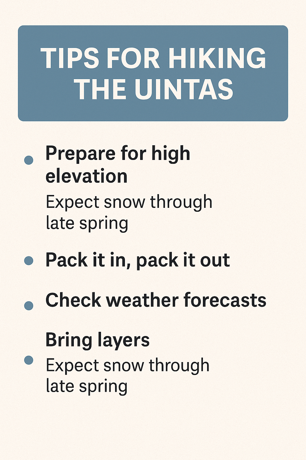
Check trail conditions and snowpack before you go—some trails stay snow-covered into July.
Don’t forget sun protection—high elevations increase UV exposure.
Practice Leave No Trace and pack out all trash.
Bring layers—even summer days can turn cold fast at 10,000 feet.
Consider camping overnight to make the most of the backcountry experience.
Why the Uintas Are Worth the Trip
If you’re looking for cooler temps, fewer crowds, and miles of scenic beauty, the Uinta Mountains deliver. They’re just a couple hours from Salt Lake City, but they feel like a world away. Whether you’re planning a day hike or a week-long trek, these trails offer some of the best hiking in the western U.S.
Want more tips for exploring Utah’s wild spaces?
Check out our guides on camping, off-grid living, and top trail picks across the state.